Last Updated: March 2026
Welcome to Citadel Drones.
These Terms and Conditions govern your use of the Citadel Drones website (citadeldrones.com) and our precision agriculture drone scouting services. By accessing our website or engaging our services, you agree to these terms.
1. Services Overview
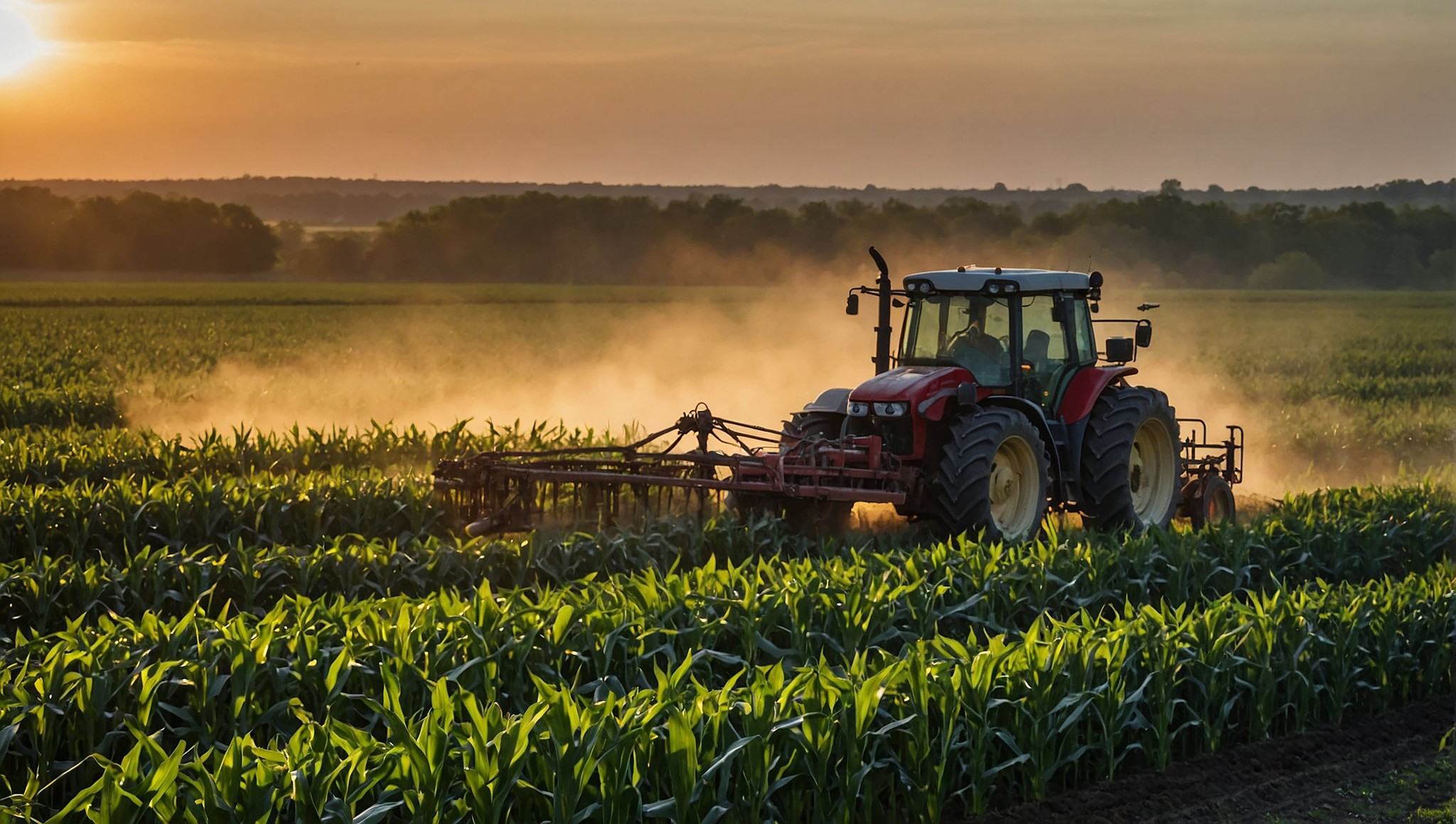
Citadel Drones provides aerial drone scouting services for agricultural operations, including multispectral imagery capture, AI-assisted weed mapping, NDVI crop health analysis, prescription map generation, stand count analysis, field boundary mapping, and crop insurance documentation. All services are performed in compliance with FAA regulations governing commercial drone operations.
2. Service Area and Scheduling
Citadel Drones is based in Newton, Kansas and primarily serves grain farming operations in south-central Kansas. Service availability depends on weather conditions, scheduling capacity, and FAA airspace requirements. We will make reasonable efforts to complete scheduled flights within the agreed timeframe, but weather and regulatory conditions may require rescheduling.
3. Pricing and Payment
Service pricing is quoted per acre based on the type of scouting service requested. A minimum service charge of $300 applies to all jobs. Final pricing is confirmed before work begins. Payment is due upon delivery of completed reports and maps unless other arrangements are made in writing.
4. Deliverables
Scouting deliverables may include RGB orthomosaics, NDVI maps, weed density maps, prescription shapefiles, PDF reports, and other outputs as specified in the service agreement. Deliverables are typically provided within 48 hours of the scouting flight. File formats are compatible with major precision agriculture platforms and variable-rate sprayer controllers.
5. Data Accuracy and Disclaimer
Citadel Drones uses commercially available drone hardware and established processing platforms to generate scouting data. While we strive for accuracy, aerial imagery and AI-generated analysis are tools to support your decision-making, not guarantees of specific outcomes. Crop management decisions remain the responsibility of the farm operator. Citadel Drones is not liable for crop losses, herbicide performance, or other outcomes resulting from the use of our data.
6. Property Access and Safety
By engaging our services, you confirm that you have authorization to grant access to the fields being scouted. You agree to inform us of any hazards, restricted areas, or obstacles relevant to safe drone operations on or near your property.
7. Intellectual Property
All content on the Citadel Drones website, including text, images, logos, and design elements, is the property of Citadel Drones. Scouting data and reports delivered to clients become the property of the client upon payment. Citadel Drones may retain copies of anonymized data for quality assurance and service improvement purposes.
8. Limitation of Liability
Citadel Drones is not responsible for indirect, incidental, or consequential damages arising from the use of our services or website. Our total liability for any claim related to our services is limited to the amount paid for the specific service in question.
9. Changes to Terms
We may update these Terms and Conditions as our services evolve. Changes will be posted on this page with an updated date. Continued use of our services after changes are posted constitutes acceptance of the revised terms.
10. Contact
Questions about these terms can be directed to julian@citadeldrones.com or through our contact page.
