Source Details
Study Info
Source:
ISU Research Team
Institution:
Iowa State University
Key Finding:
$13.42/acre saved
Category:
University Research
Published:
Crop Type:
Region:
Iowa State University
Iowa State Weed Mapping
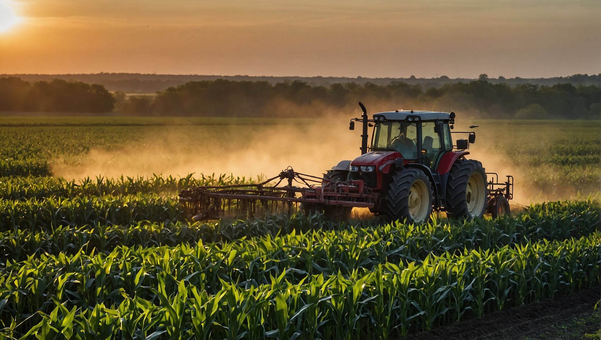
Iowa State University researchers used drone-based multispectral imaging and AI weed classification on soybean fields to generate site-specific herbicide prescription maps. The study measured herbicide use, weed detection accuracy, and yield outcomes against conventional blanket spraying.

Study Overview
Researchers at Iowa State University conducted field trials using drone-captured multispectral imagery combined with computer vision algorithms to detect and map weed populations in soybean fields. The system classified weed species and generated variable-rate prescription maps for post-emergence herbicide application.
Key Findings
➡ 94% weed detection accuracy across trial fields
➡ Near 50% reduction in herbicide product use
➡ $13.42 per acre savings in chemical costs on soybeans
➡ No statistically significant yield difference vs. broadcast spraying
➡ Prescription maps compatible with standard variable-rate equipment


Why This Matters for Kansas Farmers
This study validates the same technology and approach Citadel Drones uses. The 94% detection accuracy and $13.42 per acre savings are achievable results on real fields with the same class of multispectral drone and AI pipeline we deploy. For a 1,000-acre Kansas soybean operation, that translates to over $13,000 in chemical savings per pass.

94% weed detection accuracy with near 50% herbicide savings and no yield loss. The data is clear — precision scouting works.
- Iowa State University, 2024
Source
Iowa State University, Department of Agricultural and Biosystems Engineering. Drone-Based Weed Mapping and Precision Herbicide Application Study, 2024.


