More Services
Explore Other Services
Get in touch
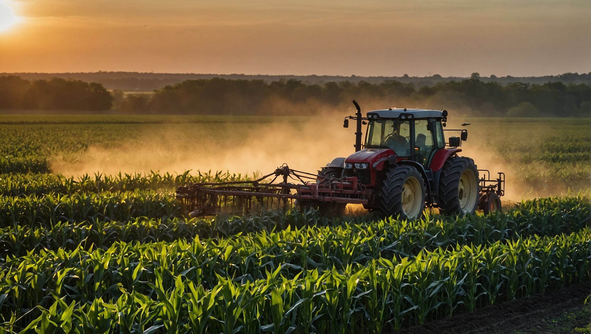
Innovative Solutions for agriculture
Aerial Documentation for Insurance Claims
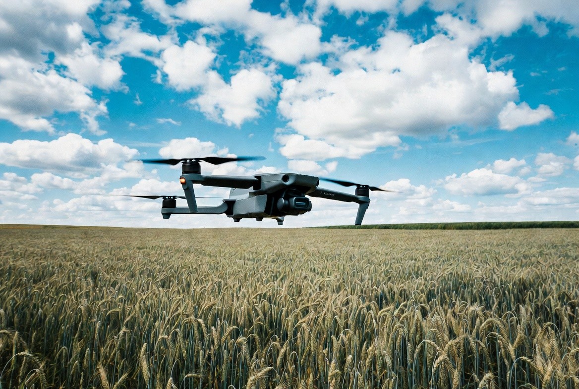
When crop damage occurs from hail, flooding, drought, or pest pressure, having accurate, timestamped aerial imagery can make the difference between a smooth insurance claim and a disputed one. Our crop insurance documentation service provides georeferenced drone imagery and crop health reports that support your claims with objective, verifiable data.
We fly affected fields within days of a damage event, capturing high-resolution RGB and NDVI imagery that documents the extent and severity of crop loss across every acre. This data supplements your adjuster visit with field-wide evidence that ground-level assessment alone cannot provide.
Key Benefits
✅ Timestamped Georeferenced Imagery: Every image is tagged with GPS coordinates, date, and time, creating a verifiable record of field conditions at the time of documentation.
✅ Full-Field Damage Assessment: Instead of relying on sample points, drone imagery shows the complete extent of damage across the entire field, supporting more accurate loss estimates.
✅ NDVI Health Maps: Multispectral analysis quantifies crop stress and loss severity, providing objective data that complements visual documentation.
✅ Adjuster-Ready Reports: We deliver organized image sets and summary reports formatted for easy submission to your crop insurance provider or adjuster.


Frequently Asked Questions
How can we help you?
How much does drone scouting cost?
How much does drone scouting cost?
How much does drone scouting cost?
How much does drone scouting cost?
