More Services
Explore Other Services
Get in touch
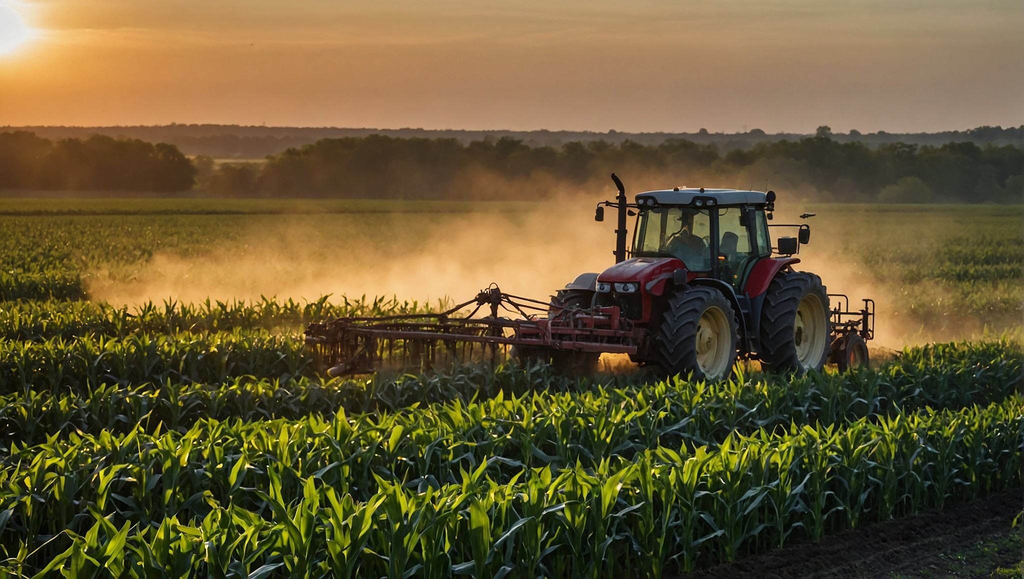
Innovative Solutions for agriculture

GPS-Accurate Field Boundaries From Drone Data
Our field boundary mapping service uses drone-captured imagery to generate precise GPS boundaries and acreage measurements for your fields. Whether you need updated boundary files for your precision ag platform, accurate acreage for input calculations, or clean field maps for record-keeping, our drone surveys deliver sub-meter accuracy across your entire operation.
This service is especially valuable when FSA boundaries do not match your actual farmed acres, when you have added or modified field layouts, or when you need accurate GIS data for variable-rate prescriptions and yield analysis.
Key Benefits
✅ Sub-Meter GPS Accuracy: Drone-derived boundaries provide significantly more precise acreage measurements than traditional methods or outdated FSA maps.
✅ Shapefile and KML Output: Boundary data is delivered in industry-standard formats compatible with John Deere Operations Center, Climate FieldView, Trimble Ag, and other precision ag platforms.
✅ Accurate Acreage Calculations: Know exactly how many acres you are farming per field for input planning, cost analysis, and insurance reporting.
✅ Obstacle and Feature Mapping: Identify waterways, terraces, pivot tracks, and other in-field features that affect your management zones and equipment paths.


Frequently Asked Questions
How can we help you?
How much does drone scouting cost?
How much does drone scouting cost?
How much does drone scouting cost?
How much does drone scouting cost?
